Clay Farm: Work During 2010

This is one of a series of pages about the development of Clay Farm , from 2010 to the present.

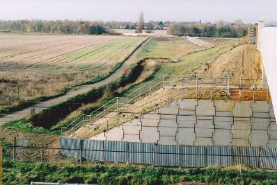
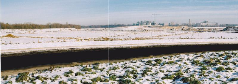
Clay Farm from the east end of the Addenbrooke’s Road railway bridge. Photos: Andrew Roberts, 6 November 2010.
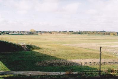
Clay Farm from the east end of the Addenbrooke’s Road railway bridge. Photo: Andrew Roberts, 6 November 2010.
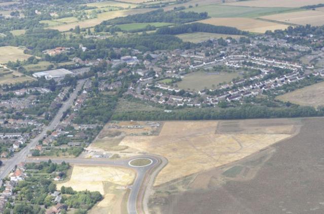
Aerial view of the archaeological excavation on Clay Farm, looking north to Trumpington, with Shelford Road and the new Addenbrooke’s Road, July-August 2010. Source: Oxford Archaeology East.
Clay Farm from the east end of the Addenbrooke’s Road railway bridge. Photos: Andrew Roberts, 6 November 2010.
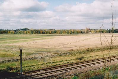
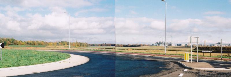
Clay Farm from the Addenbrooke’s Road roundabout. Photos: Andrew Roberts, 6 November 2010.
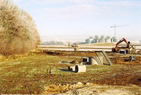
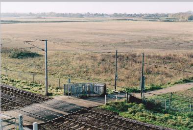
Construction work on the Clay Farm site. Photo: Andrew Roberts, 7 December 2010.
Clay Farm and Trumpington from the Guided Busway railway bridge. Photos: Andrew Roberts, 19 November 2010.
From the Guided Busway railway bridge looking west over Clay Farm and Trumpington. Photo: Andrew Roberts, 11 December 2010.
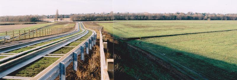
From the Guided Busway bus stop, along the line and across the Clay Farm fields. Photo: Andrew Roberts, 11 December 2010.
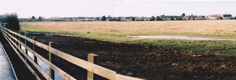
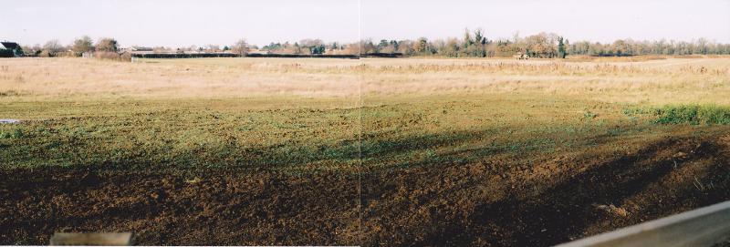
Across the Clay Farm fields to the rear of Foster Road. Photo: Andrew Roberts, 11 December 2010.
From the Guided Busway bus stop, along the line and across the Clay Farm fields to the rear of Foster Road. Photo: Andrew Roberts, 11 December 2010.
Across the Clay Farm fields to the rear of Foster Road. Photo: Andrew Roberts, 11 December 2010.
Across Clay Farm and Addenbrooke’s Hospital from the Addenbrooke’s Road roundabout near Shelford Road. Photo: Andrew Roberts, 26 December 2010.
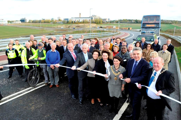
Participants at the opening of Addenbrooke’s Road, 27 October 2010: councillors, officers, Addenbrooke’s representatives and a few residents. Photo: Cambridgeshire County Council.