This is one of a series of pages about the development of Clay Farm , from 2010 to the present.
The frontage of Trumpington Community College. Photo: Andrew Roberts, 5 March 2016.
The frontage of Trumpington Community College. Photo: Andrew Roberts, 5 March 2016.
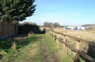
The path to the rear of Foster Road, alongside the Virido development. Photo: Andrew Roberts, 16 February 2016.
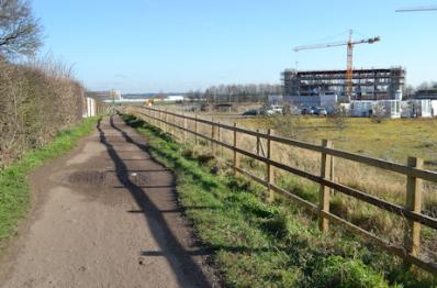
The path from Foster Road to Addenbrooke’s Hospital, with the Clay Farm Centre. Photo: Andrew Roberts, 16 February 2016.
The path from Foster Road to Addenbrooke’s Hospital, with the Clay Farm Centre. Photo: Andrew Roberts, 16 February 2016.
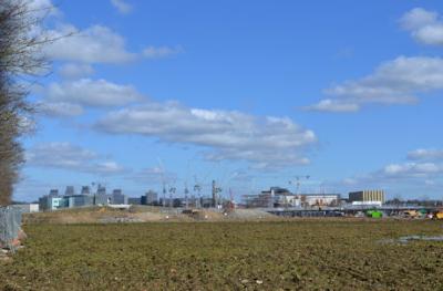
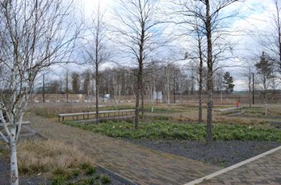
Looking across the primary school site towards CBC, from the shelter belt to the west of the Abode development. Photo: Andrew Roberts, 4 March 2016.
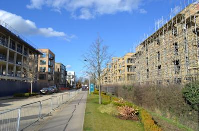
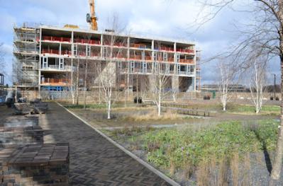
Progress with the apartments along Lime Avenue, Aura and Halo developments. Photo: Andrew Roberts, 4 March 2016.
Progress with the apartments along Lime Avenue, Aura and Halo developments. Photo: Andrew Roberts, 4 March 2016.
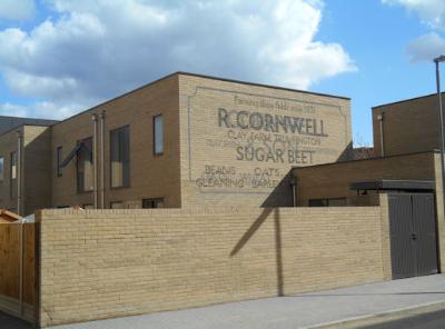
The Cornwell art work, Forbes Close, Aura development. Photo: Andrew Roberts, 5 March 2016.
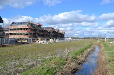
Progress with homes on Southwell Drive, parallel with Hobson’s Brook, Paragon development. Photo: Andrew Roberts, 4 March 2016.
The Cornwell art work, Forbes Close, Aura development. Photo: Andrew Roberts, 5 March 2016.
Progress with homes on Southwell Drive, parallel with Hobson’s Brook, Paragon development. Photo: Andrew Roberts, 4 March 2016.
The Clay Farm Centre from Hobson Square. Photo: Andrew Roberts, 6 March 2016.
Hobson Square. Photo: Andrew Roberts, 6 March 2016.
Hobson Square. Photo: Andrew Roberts, 6 March 2016.
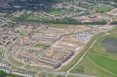
Aerial photograph of the Clay Farm development and Trumpington village. Countryside Properties, June 2016.
Aerial photograph of the Clay Farm development, including Aura, Halo, Trumpington Community College and Trumpington village. Countryside Properties, June 2016.
Aerial photograph of the Clay Farm development, including Aura, Halo, Trumpington Community College and Trumpington village. Countryside Properties, June 2016.
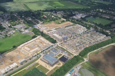
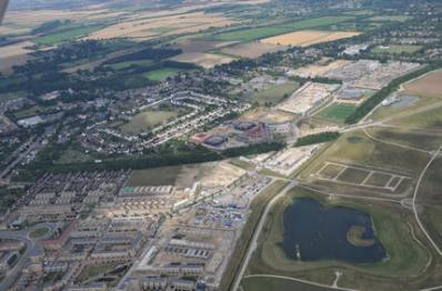
Aerial photograph of Clay Farm from the south, showing the lake, spine road, Abode, Paragon and site of the primary school and the tree belt along the busway. Countryside, 16 August 2016.
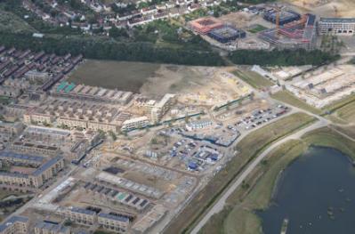
Aerial photograph of Trumpington from the south east, showing the Clay Farm park, lake, spine road, Abode, Paragon, Hobson Square and the Clay Farm Centre, Aura, Halo, the tree belt along the busway and the village centre from Shelford Road to Long Road. Countryside, 16 August 2016.
Aerial photograph of Trumpington from the south east, showing the Clay Farm park, lake, spine road, Abode, Paragon, Hobson Square and the Clay Farm Centre, Aura, Halo, the tree belt along the busway. Countryside, 16 August 2016.